3D Laser Scanning Services
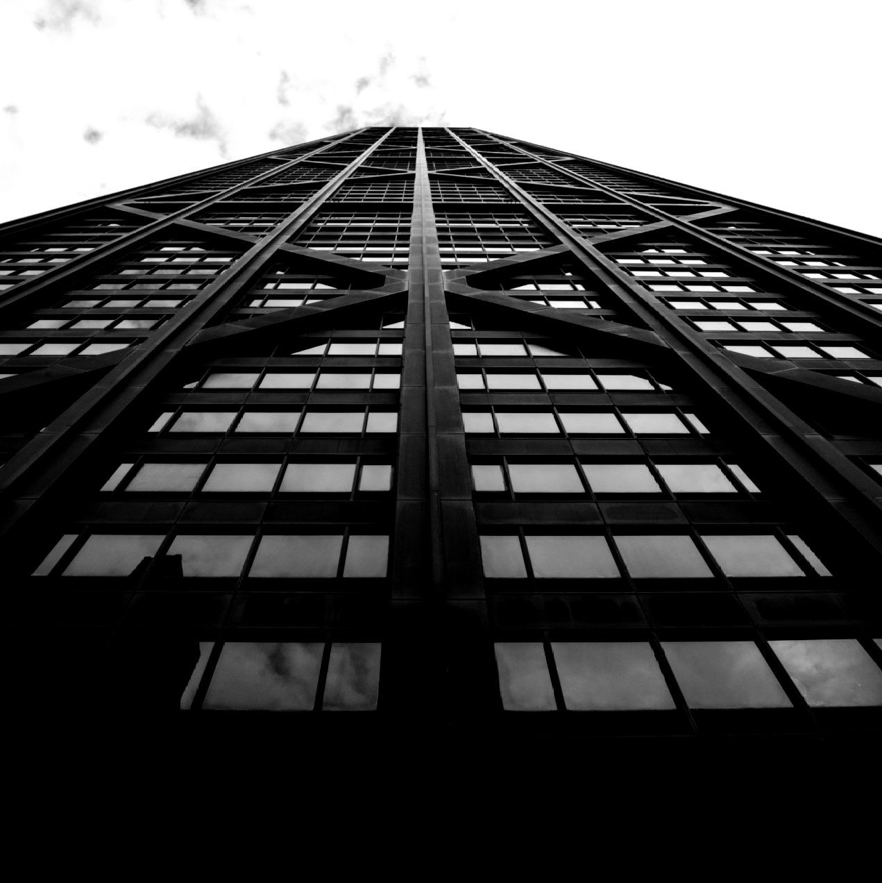
Architectural Laser Scanning
3D laser scanning quickly and accurately provides comprehensive as built documentation of a building or site. Precise point clouds, 2D CAD drawings, and 3D BIM models expedite design planning. K&K captures the exact building dimensions, locations, and layout – accurate information that is crucial to the planning and coordination of your architectural project.

Facilities & Plant Laser Scanning
3D scanning provides complete and accurate as built data of facilities and plants, including structural and MEP features; furnaces, equipment, conduit, and piping down to ½" diameter. Point clouds, 2D CAD drawings, and 3D BIM models are invaluable in design, prefabrication, asset management, and facility modifications. With a compete history of the facility, managers can see exactly what has been built and do not have to invest in learning about existing conditions.
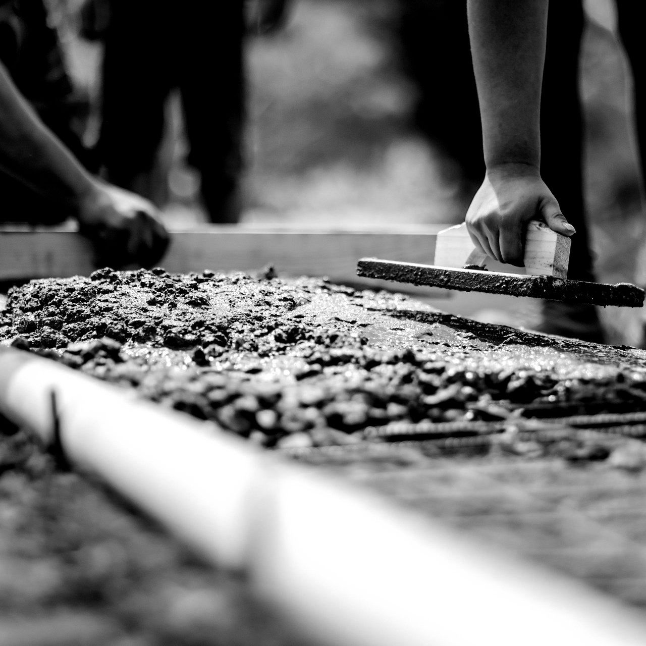
Concrete Laser Scanning
Whether you are performing concrete inspection, layout, or assessment, we deliver 3D laser scanning solutions for your project. K&K can conduct floor flatness and floor levelness analysis, check for tolerances and deflection, verify MEP placement, capture GPR field markings, and more. 3D laser scanning provides precise documentation of your concrete project to expedite decision making.
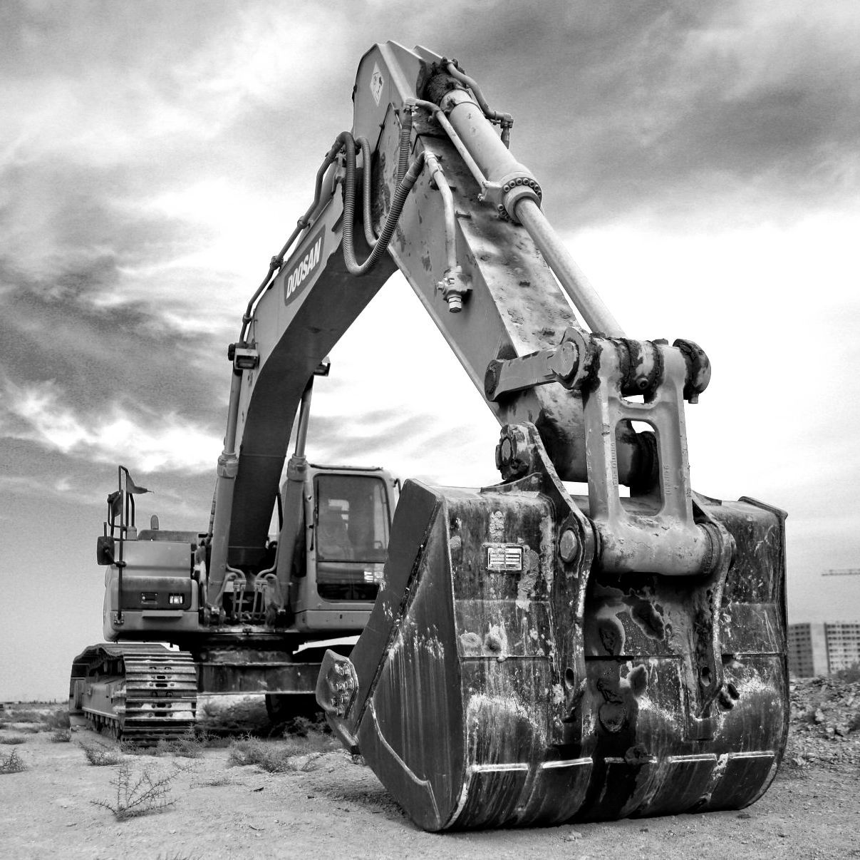
Construction Laser Scanning
Accurate existing building conditions are essential for construction planning. 3D laser scanning captures, maps, and visualizes the spatial geometry of buildings and sites with millimeter accuracy. Data can be used to compare new construction work against design models. 3D laser scanning makes it possible to quickly and accurately visualize existing conditions, saving time in the planning and prepping stages. Data is digitally available to the project team.
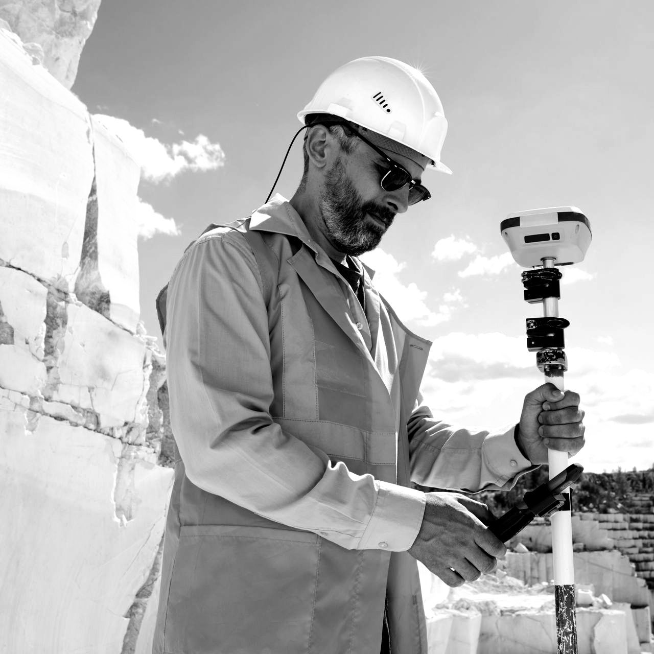
Historical Laser Scanning
Restoring historical properties is a complicated process. It involves complex techniques and entails collaborative work from various teams. Laser scanning captures structural and architectural details of historic buildings and sites for renovation or preservation. Laser scanning provides virtual tour options and a blueprint for reconstruction, if the site is damaged or destroyed. Data can be delivered in the form of a point cloud, 2D CAD drawings, or 3D BIM models.
Clash Detection & Prefabrication
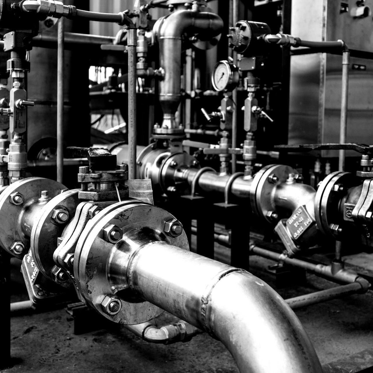
3D laser scanning captures as built site conditions with a high level of precision, helping to identify potential clashes, fabricate components, and plan a flawless installation. Accurate design planning and team communication minimizes clashes, installation problems, and rework. Information can be shared with other teams to ensure everyone is on the same page to coordinate their work effectively. This saves time and money, by preventing costly modifications in the field.
K-12 Schools & Universities
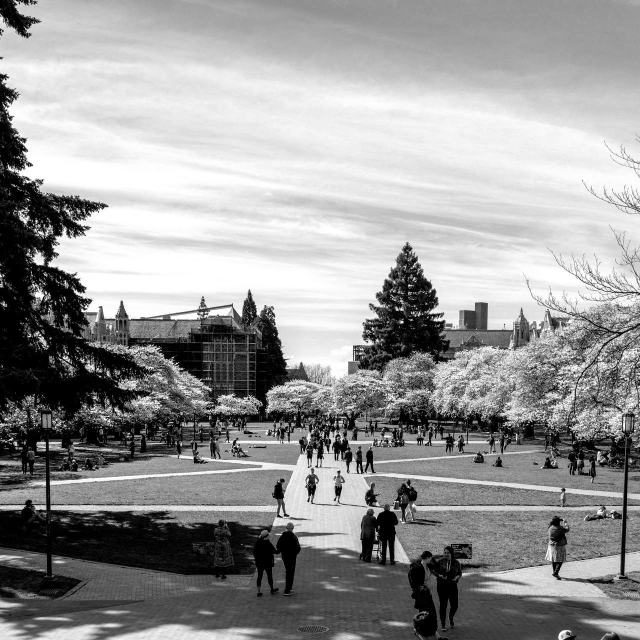
With our extensive 3D laser scanning experience, as built information is captured on schools, colleges, and universities to support site renovations and upgrades. The ability to coordinate construction plans with point clouds, 2D CAD drawings, and 3D BIM models improves collaboration and expedites project planning. 3D laser scanning provides a single source of accurate data to work from, reducing the risk of change orders and project delays.
Advanced Analysis
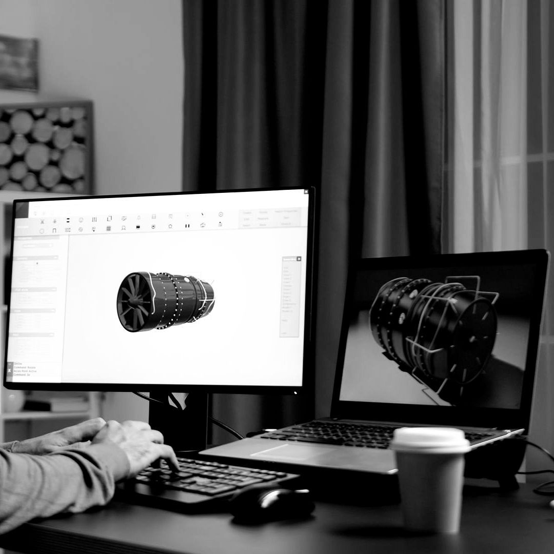
3D laser scanning provides precise measurement data and removes human error from the collection process. The exact dimensions and locations of the most complex project details can be recorded with 2-4mm accuracy. GPRS provides high-precision, custom analysis and calculations, such as dimensional callouts, tank calibration analysis, deviation and deformation analysis, new construction verification, volume calculations, wall plumb analysis, and more.
Mapping & Modeling Services
Point Cloud Data (RAW)
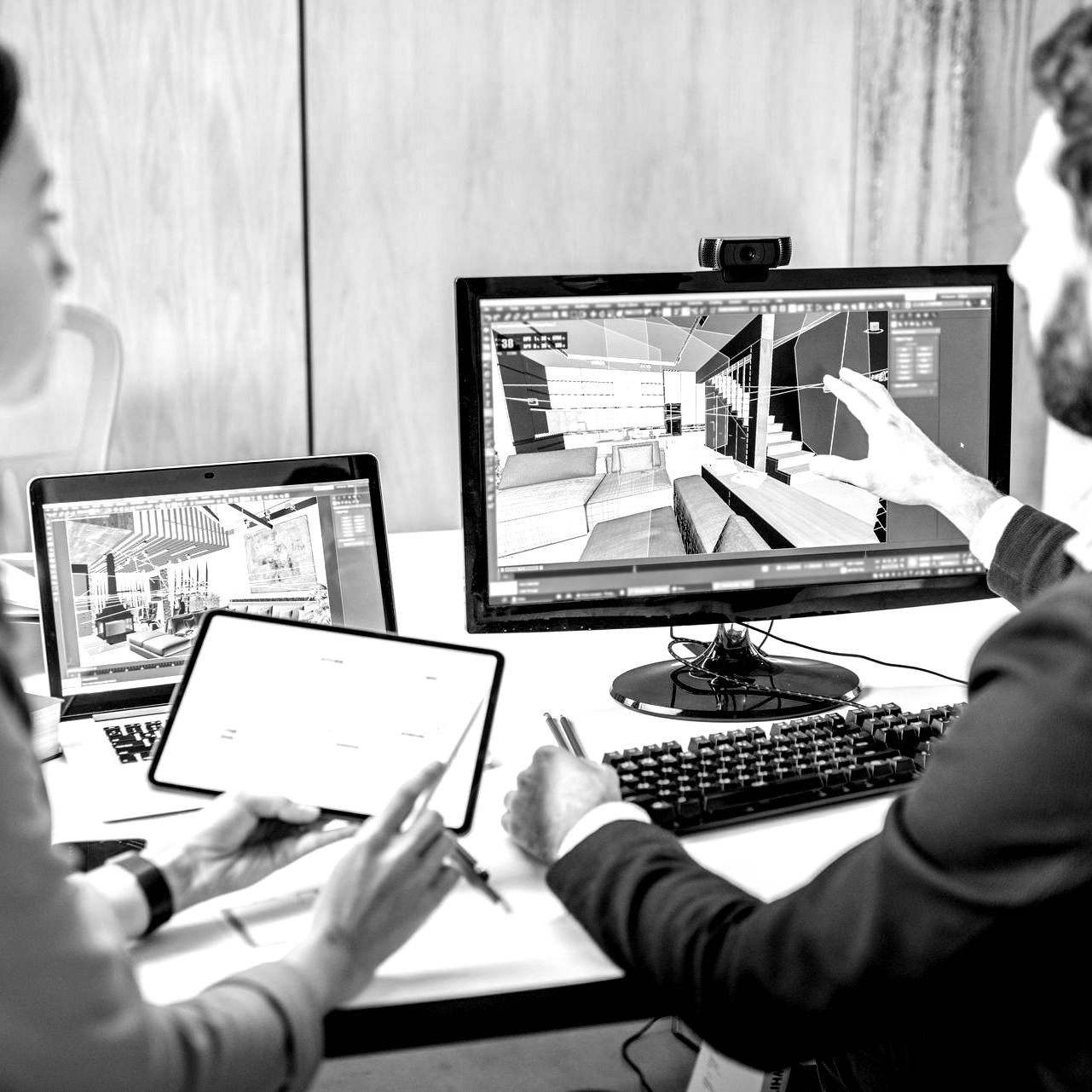
3D laser scanning quickly and accurately provides comprehensive as built documentation of a building or site. Precise point clouds, 2D CAD drawings, and 3D BIM models expedite design planning. K&K captures the exact building dimensions, locations, and layout – accurate information that is crucial to the planning and coordination of your architectural project.

2D CAD Drawings
3D scanning provides complete and accurate as built data of facilities and plants, including structural and MEP features; furnaces, equipment, conduit, and piping down to ½" diameter. Point clouds, 2D CAD drawings, and 3D BIM models are invaluable in design, prefabrication, asset management, and facility modifications. With a compete history of the facility, managers can see exactly what has been built and do not have to invest in learning about existing conditions.

3D BIM Models
Whether you are performing concrete inspection, layout, or assessment, we deliver 3D laser scanning solutions for your project. K&K can conduct floor flatness and floor levelness analysis, check for tolerances and deflection, verify MEP placement, capture GPR field markings, and more. 3D laser scanning provides precise documentation of your concrete project to expedite decision making.

3D Mesh
Accurate existing building conditions are essential for construction planning. 3D laser scanning captures, maps, and visualizes the spatial geometry of buildings and sites with millimeter accuracy. Data can be used to compare new construction work against design models. 3D laser scanning makes it possible to quickly and accurately visualize existing conditions, saving time in the planning and prepping stages. Data is digitally available to the project team.

3D Mesh
Restoring historical properties is a complicated process. It involves complex techniques and entails collaborative work from various teams. Laser scanning captures structural and architectural details of historic buildings and sites for renovation or preservation. Laser scanning provides virtual tour options and a blueprint for reconstruction, if the site is damaged or destroyed. Data can be delivered in the form of a point cloud, 2D CAD drawings, or 3D BIM models.

TruViews
3D laser scanning captures as built site conditions with a high level of precision, helping to identify potential clashes, fabricate components, and plan a flawless installation. Accurate design planning and team communication minimizes clashes, installation problems, and rework. Information can be shared with other teams to ensure everyone is on the same page to coordinate their work effectively. This saves time and money, by preventing costly modifications in the field.

3D Virtual Tour from Point Cloud
With our extensive 3D laser scanning experience, as built information is captured on schools, colleges, and universities to support site renovations and upgrades. The ability to coordinate construction plans with point clouds, 2D CAD drawings, and 3D BIM models improves collaboration and expedites project planning. 3D laser scanning provides a single source of accurate data to work from, reducing the risk of change orders and project delays.
Let’s talk about your project
Fill in the form or call to set up a meeting at
(253) 358-0690.
